Tallahatchie County and most of the Mid-South region are under a Winter Storm Watch, the National Weather Service (NWS) in Memphis announced Wednesday.
More than 2 inches of snow and sleet are expected in the Tallahatchie County area, with ice accumulations over 1/4 inch.
The arctic blast driving the system is expected to bring increasingly colder air and frozen precipitation beginning Friday afternoon and continuing through Sunday.
NWS Memphis says to expect weather-related power outages and tree damage due to the ice.
Travel could be impossible, and the hazardous conditions could impact the Friday evening commute.
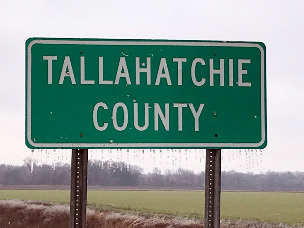 Ice hangs from a Tallahatchie County sign on U.S. Highway 49 East on Feb. 1, 2023. (Sun-Sentinel file photo by Clay McFerrin)
The NWS forecast is as follows:
Friday: A slight chance of rain before noon, then a chance of rain and sleet. Cloudy, with a high near 43. North-northeast wind 5 to 10 mph. Chance of precipitation is 40%.
Friday night: A chance of rain, freezing rain and sleet before 9 p.m., then freezing rain, possibly mixed with sleet. Low around 21. North-northeast wind around 10 mph. Chance of precipitation is 80%. New ice accumulation of 0.1 to 0.3 of an inch possible. New sleet accumulation of less than a half-inch possible.
Saturday: Freezing rain and sleet. The sleet could be heavy at times. High near 26. North-northeast wind around 10 mph. Chance of precipitation is 100%.
Saturday night: Freezing rain, possibly mixed with sleet before midnight, then freezing rain, possibly mixed with snow and sleet. Low around 15. North wind around 5 mph. Chance of precipitation is 90%.
Sunday: A chance of snow, freezing rain and sleet. Mostly cloudy, with a high near 24. Chance of precipitation is 50%.
Sunday night: Partly cloudy, with a low around 4.
Monday: Sunny, with a high near 21.
Monday night: Mostly clear, with a low around 2.
Tuesday: Sunny, with a high near 32.
Tuesday night: Partly cloudy, with a low around 12.
Wednesday: Mostly sunny, with a high near 37.
NWS winter safety tips and other information can be found here.
For the very latest about this evolving winter storm, visit the NWS website.